Set Your Minimum Viable Rate: 2026 Drone Pricing Playbook
Set Your Minimum Viable Rate: 2026 Drone Pricing Playbook
Aerial photography runs $150 to $400 per hour in 2026. Inspections run $150 to $700 per asset. Mapping runs $5 to $25 per acre or $300 to $600 per hour, with LiDAR and thermal work pushing past $700. The one rule that matters more than any range: calculate your Minimum Viable Rate (fully loaded cost per billable hour), then add a 25 to 40 percent margin. Post-processing time and software fees are the two line items pilots forget, and they are usually what turns a “profitable” job into a break-even one.
- Setting the correct billing model is crucial, with per-deliverable pricing often protecting margins better than hourly rates, especially for data-heavy post-processing jobs.
- In 2026, drone services range from $150 to $700 per asset for inspections and $5 to $25 per acre for mapping, with high-end sensors like LiDAR demanding premium rates exceeding $700 per hour.
- Pilots must account for hidden costs such as equipment depreciation, batteries, insurance, software licenses, permits, and administrative time, which significantly impact profitability.
- Calculating a Minimum Viable Rate involving fixed costs, variable expenses, and a 25 to 40 percent margin ensures jobs are billed to cover all costs and sustain the business.
- Industry tools and platforms can streamline quoting, compliance, and admin tasks, reducing overhead and enabling accurate, profitable pricing strategies.
Flydronable
Turn Drone Work Into Business
Dronable brings airspace safety, client management, flight logs, and digital credentials together for more efficient commercial operations.
Table of Contents
- Which Drone Pricing Model Fits Your Job?
- What Do Drones Cost by Service Type in 2026?
- What Costs Are Hidden Inside Every Drone Job?
- How Do You Calculate Your Minimum Viable Rate?
- How Do You Quote Photography, Inspection, and Mapping Jobs?
- How Are 2026 Trends Changing Drone Pricing?
- What Do Pilots Get Wrong About Pricing?
- Simplify Quoting and Compliance With Dronable
- Where This Guide’s Numbers Come From
- Sources
- FAQ
Which Drone Pricing Model Fits Your Job?
Picking the wrong billing structure costs pilots more money than picking the wrong price. A mapping job billed hourly punishes you for being efficient. A photography session billed per-deliverable can shortchange you on a shoot that runs long. Match the model to the work, not the other way around.
- Hourly billing works for photography, video, and short inspection flights where time on-site closely tracks time spent working.
- Day-rate billing fits jobs with unpredictable setup, multiple locations, or client-driven scheduling delays, typically $800 to $2,000 depending on scope.
- Flat project pricing suits one-off jobs with a clearly defined outcome, like a real estate listing package or a single roof inspection.
- Per-acre pricing is the default for large-area mapping and agricultural surveys, running $5 to $25 per acre depending on terrain and required accuracy.
- Per-deliverable pricing charges for the finished product, a 3D model, orthomosaic, or annotated report, rather than flight time.
- Value-based pricing applies when your output changes a client’s decision materially, like a construction progress report tied to a payment milestone.
- Hybrid models combine a flat site-visit fee with per-acre or per-deliverable add-ons, which is increasingly common on mapping contracts.
The pattern worth remembering: per-deliverable pricing usually protects your margin better than hourly billing on any job involving heavy post-processing, because finished 3D models commonly sell for $500 to $1,500 or more regardless of how long the processing takes. Hourly billing only makes sense when the client is paying for your time on-site, not the hours you spend afterward at a computer. Set a minimum fee for every model. A 20-minute flight that still requires two hours of editing needs a floor rate, or you are effectively working for free during the edit.
What Do Drones Cost by Service Type in 2026?
Rates vary by service, by region, and by how much specialized equipment the job demands. These ranges reflect the U.S. market in 2026 and assume a certified, insured operator.
- Aerial photography and video: $150 to $400 per hour, with real estate listing packages often flat-priced between $200 and $500 per session. Cinematic or twilight shoots command a premium, sometimes 20 to 30 percent above standard rates, because they require tighter scheduling and more editing.
- Roof and building inspections: $150 to $700 per asset. A single residential roof inspection sits at the low end; a multi-building commercial complex with thermal scanning and a full annotated report sits at the high end. Complexity, not flight time, drives this range.
- Mapping and surveying: $5 to $25 per acre for large sites, or $300 to $600 per hour when billed by time. Small sites under five acres often need a flat minimum fee instead, since per-acre math breaks down at small scale.
- 3D models and orthomosaics: priced per deliverable, typically $500 to $1,500 and up, depending on resolution, ground control point density, and turnaround time.
- Thermal, infrared, and LiDAR work: premium rates that often exceed $300 to $700 per hour. LiDAR jobs in particular tend to migrate toward enterprise pricing structures once you factor in sensor cost, data volume, and specialized processing software.
Skill level shifts every one of these numbers. A beginner pilot, newly certified with a single drone and no portfolio, typically prices at the bottom of each range or slightly below, often working half-day or full-day rates near $400 to $600 to build a client base. An intermediate operator with a year or two of paid work, a second aircraft, and a track record can anchor at the middle of the range, with day rates commonly landing between $800 and $1,500. An expert operator with specialized sensors (LiDAR, high-resolution thermal), FAA waivers for beyond visual line of sight or night operations, and an established client list can price at the top of the range or above it, with day rates frequently exceeding $2,000 for complex commercial work.
The gap between beginner and expert pricing is not vanity. It reflects real cost differences: expert-tier equipment carries higher depreciation, higher insurance premiums, and steeper software licensing, all of which have to show up somewhere in the rate.
What Costs Are Hidden Inside Every Drone Job?
Most pilots price off their competitors’ rates instead of their own costs, which is how undercharging becomes chronic. Before you can set a rate that actually works, you need a full accounting of what a job costs you, not just fuel and travel.
- Equipment depreciation: a $5,000 drone amortized over three years costs $1,667 per year, or roughly $139 per month, before you fly a single job.
- Battery lifecycle: batteries typically last 200 to 500 charge cycles before performance degrades enough to require replacement, and multi-battery missions accelerate that clock fast.
- Insurance: commercial liability coverage is a recurring premium that needs to be allocated per job, not treated as a sunk annual cost you ignore when quoting.
- Software and processing: desktop photogrammetry licenses commonly run $3,500 to $8,000 per year, while cloud-credit platforms charge per model or per project.
- Permits and compliance overhead: FAA Part 107 registration and waiver processes through DroneZone take time and, in some cases, direct fees that belong in your cost base.
- Admin and client management time: proposal writing, scheduling, and invoicing eat hours that never show up on a flight log but absolutely show up on your calendar.
Pro Tip: Track your actual editing hours for a month before you quote anything else. Most pilots underestimate post-processing time by 40 to 60 percent, and that gap is exactly where margin disappears.
Battery replacement deserves special attention because it is the cost operators most consistently forget to budget. A pilot running four batteries per mission across 150 missions a year burns through cycle life fast, and a $150 replacement battery every few months adds up to a real annual expense that needs a home in your hourly math, not a surprised shrug when the battery finally dies mid-shoot.
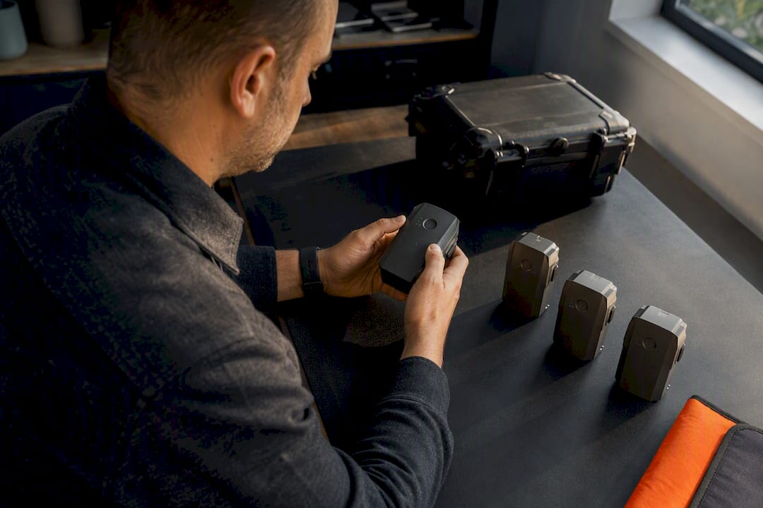
Calibration, maintenance, and firmware management round out the list. None of these show up as a line item on an invoice, but all of them cost time or money, and time or money not counted in your rate is time or money you are donating to the client.
How Do You Calculate Your Minimum Viable Rate?
Your Minimum Viable Rate, or MVR, is the hourly rate below which you are losing money on every job, even if the invoice looks fine. A sustainable rate has to cover fixed annual costs, variable per-job costs, and a target margin, in that order.
- Add up your annual fixed costs. This includes equipment depreciation, insurance, software licenses, and certification fees. Divide the total by your realistic billable hours for the year, not your total available hours. Most solo pilots bill 400 to 800 hours a year once you subtract admin time, weather cancellations, and slow seasons.
- Layer in variable costs per job. Travel, on-site assistant fees, cloud processing credits, and editing time all belong here, either as a flat per-job addition or converted into an hourly rate.
- Add your target margin. A 25 to 40 percent margin on top of total cost is the range most pricing frameworks recommend, and it is what lets you reinvest in equipment instead of just breaking even.
Here is what that looks like with real numbers for a solo pilot running mapping and inspection work:
Add variable costs of roughly $15 per job hour for travel and editing time, and your break-even MVR lands near $26 per hour. Add a 35 percent margin and your quoted rate should sit around $35 per hour at minimum, before you factor in market positioning or specialized equipment premiums. Most pilots quote well above their raw MVR once they price for skill level and deliverable complexity, but the MVR is your floor. Quote below it and every job is a loss disguised as revenue.
How Do You Quote Photography, Inspection, and Mapping Jobs?
A generic day rate leaves money on the table because every service type has different cost drivers and client expectations. Here is how to structure quotes for the four job types clients ask for most.
Photography and video: Build session packages with a fixed number of edited images or a set video length included, and price editing time into the package rather than billing it separately. Set a travel minimum, often $50 to $150, for jobs outside your normal radius. Twilight and cinematic shoots warrant a 20 to 30 percent premium because they require tighter timing windows and heavier editing.
Inspections: Price by deliverable complexity, not flight time. A basic visual inspection with a short summary sits at the low end of the $150 to $700 range; a thermal-scanned inspection with an annotated PDF report and flagged defect locations sits at the high end. Build safety waiver review and liability documentation time into your quote, especially for industrial or utility clients.
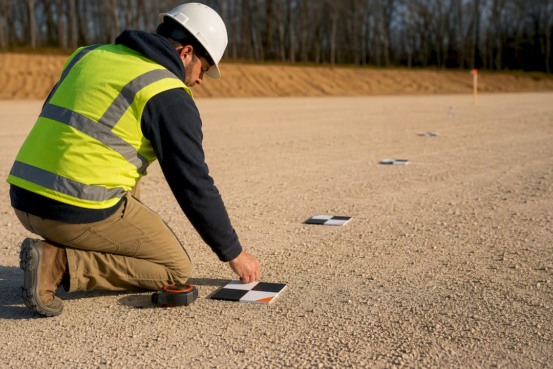
Mapping: Decide upfront whether per-acre or per-deliverable pricing protects your margin better. Large, simple sites favor per-acre. Small sites, or sites requiring survey-grade accuracy with ground control points, favor a flat per-deliverable fee with a clear minimum, often $500 to $800 for anything under five acres. Offer accuracy tiers, standard resolution versus survey-grade, and price the higher tier 30 to 50 percent above standard to reflect the added ground control and processing time. Clients working with land surveyors will recognize this structure, since precision topographic survey pricing already follows tiered accuracy models.
Recurring and construction monitoring work: Build a retainer structure with a set number of flights per month at a discounted per-visit rate compared to one-off jobs. Lock in reporting deliverables, progress photo comparisons, volumetric measurements, timestamped overlays, as part of the retainer so the client sees ongoing value beyond raw footage.
Pro Tip: Always list deliverables explicitly in the quote itself. “Aerial inspection” is vague and invites scope creep. “Annotated PDF report with 15 flagged defect locations and thermal overlay” sets a boundary the client can see.
How Are 2026 Trends Changing Drone Pricing?
Processing platform choice now affects your margin as much as your flight skills do. A desktop photogrammetry license costs $3,500 to $8,000 a year, which pays off fast at high volume but sits idle as sunk cost during slow months. Cloud credit platforms charge per model, often $99 to $199 each, which keeps costs predictable but can run more expensive at low-to-moderate volume.
- Thermal, LiDAR, and RTK-equipped sensors justify tagging a job as enterprise-priced, since the equipment premium alone can exceed $10,000 to $50,000 depending on payload.
- LiDAR and thermal rates often exceed $300 to $700 per hour, reflecting both sensor cost and the specialized processing these formats require.
- Clients increasingly ask for finished deliverables rather than raw footage, which shifts pricing power toward pilots who can process and interpret data, not just fly.
When a client questions a software line item, explain it in terms of what they receive: faster turnaround, higher accuracy, or a deliverable format their team can use directly. That framing lands better than defending a subscription fee in the abstract.
What Do Pilots Get Wrong About Pricing?
The most common mistake I see is pilots pricing the flight and forgetting the desk work. Editing, cloud credits, and report writing routinely eat more time than the mission itself, and none of it gets billed unless you scope it upfront. My practical fix: build every quote around a stated minimum and an explicit deliverable list, not a vague hourly estimate.
Simplify Quoting and Compliance With Dronable
Every calculation in this guide, MVR math, deliverable scoping, margin targets, takes time to redo for every client. There are platforms available that put client proposals, airspace clearance, and flight records in one workspace, so the admin overhead that erodes your margin gets smaller instead of bigger.
SkyScore™ handles airspace safety checks before you commit to a job, so you are not quoting a site you cannot legally fly. Deal Studio manages client proposals and communication in one place instead of scattered emails and text threads. Drone Passport gives you a verified digital credential you can show clients directly, which supports the higher end of the rate ranges in this guide because clients can see your certification status without asking. Pair that with the certification prep in Flydronable’s Academy and the pricing and compliance checklists in the tools suite to standardize every quote you send. Start by exploring the Flydronable workspace and building your first client proposal today.
Where This Guide’s Numbers Come From
Rate ranges draw on FAA commercial operations guidance, AUVSI market reporting, and 2026 industry pricing benchmarks.
Sources
- FAA — Commercial UAS Operations
- Drone Service Pricing Guide: How Much Drone Services Cost in 2026
- Drone Services Pricing: $100-$400/hr by Job Type (2026)
FAQ
How much should a decent drone cost?
A capable consumer or prosumer drone typically costs several hundred to a few thousand dollars, while professional mapping or inspection platforms with specialized sensors can cost tens of thousands.
How far can a $500 drone fly?
Most drones in this price range offer a control range of one to four miles under ideal conditions, though battery life, not signal range, is usually the limiting factor for a practical flight radius.
What is the typical price range for drone services?
In 2026, aerial photography runs $150 to $400 per hour, inspections run $150 to $700 per asset, and mapping runs $5 to $25 per acre or $300 to $600 per hour depending on accuracy requirements.
What is the best drone to buy for the money?
The right drone depends on the work: photography and light inspection work call for a mid-range platform with a strong camera, while mapping and survey work justify investing in RTK positioning or a dedicated payload once job volume supports the cost.
How do I avoid undercharging for drone work?
Calculate your Minimum Viable Rate first, covering depreciation, insurance, software, and editing time, then add a 25 to 40 percent margin, and never quote without listing deliverables explicitly.
Recommended
Explore Dronable Tools
Deepen Your Knowledge
Get step-by-step video courses in the Dronable Academy — FAA Part 107, EASA, real estate drone photography, and more.
Browse CoursesFree: How to Start a Drone Business
The complete step-by-step guide to turning your passion for flying into a profitable drone business — completely free.
- 10 steps to launching your drone business
- 51 proven drone business ideas
- How to get FAA certified (Part 107)
- Pricing, clients & recurring income
Join the Dronable Newsletter
Get drone tips, new articles, and exclusive deals straight to your inbox. No spam, unsubscribe anytime.


